Translate

Showing posts with label Colorado. Show all posts

Saturday, November 21, 2020

Did you say "Moab?"

Arriving at the airport, very early. 10-6-2020. Photo by Michael McKinney

 Sometimes I wonder if the world's so small
Can we ever get away from the sprawl.” - Arcade Fire


After cancelling plans for an early summer flyfishing and hiking trip to Boulder, Colorado, I thought I'd not have an opportunity to do any travelling this year.

I had been fortunate enough to rent a car and find some quiet spaces in Wisconsin, but getting an opportunity to see something new seemed untenable and very unlikely. With the 2020 Presidential election going in full gear, and work slowing down a bit, it seemed like there was a window of opportunity for some time off, and early October became a potential time frame.

NCAR; Boulder, Colorado, 10-6-2020. Photo by Michael McKinney

Blue Lake, Indian Peaks Wilderness, Colorado. 10-7-2020. Photo by Michael McKinney

I tied some new flies, borrowed some camping gear, found a local Colorado fly tier on Etsy, purchased some of his flies for insurance, readied myself for a third Covid-19 examination and crossed my fingers.

A couple of days later, there I was, settling into a one person tent in my cousin's backyard, reveling in the first of nine days of camping, fishing and cycling. Having rented a car from Denver I had enough time to stop at the Denver Museum of Nature and Science and appreciate its amazing gemology exhibit before forging on into Boulder. 

After a day trip to the Brainard Lakes Recreation Area and a hike into the Indian Peaks Wilderness to see Blue Lake, we made the long drive through SouthWest Colorado to Moab, Utah.

Campsite, Boulder, Colorado, 10-8-2020. Photo by Michael McKinney.

Leaving Summit County, Colorado; 10-8-2020. Photo by Michael McKinney.

Sunrise, Willow Springs Road, Moab, Utah. 10-9-2020. Photo by Michael McKinney.

Thanks Chuck! Moab, Utah. 10-9-2020. Photo by Peter McKinney.

Arches National Park, 10-10-2020. Photo by Michael McKinney.

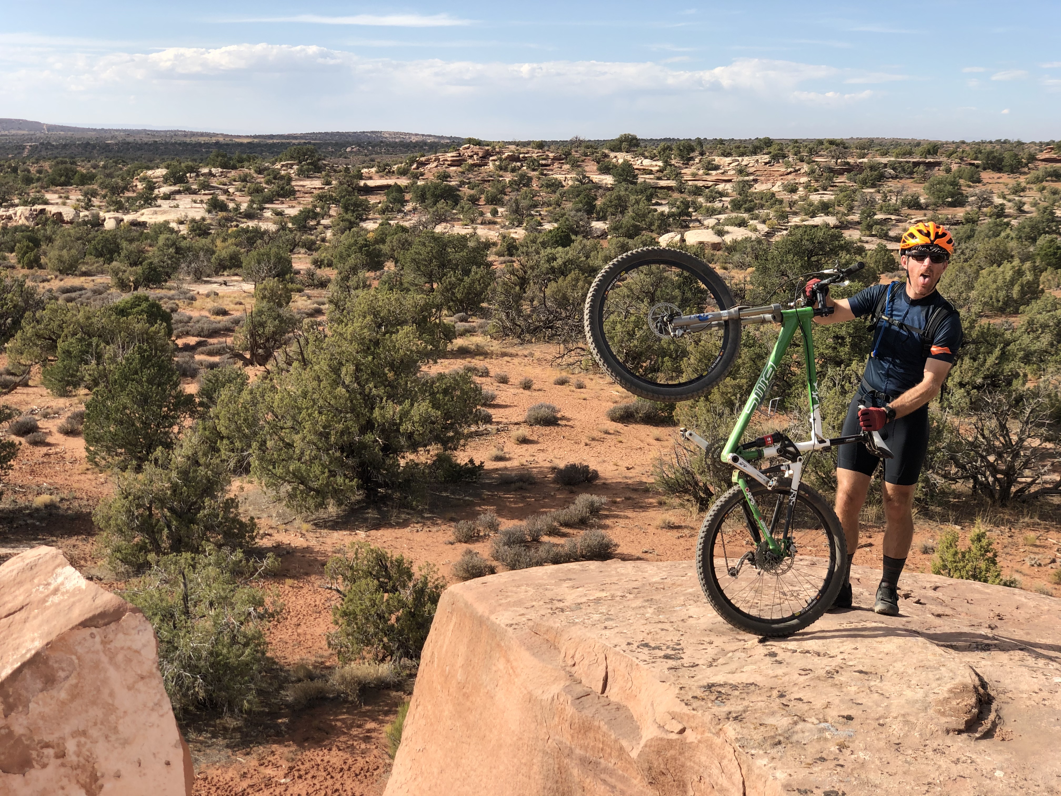
If you have ever mountain biked there, you already know what I am going to say about riding over the massive rocks, through the deep sand, next to the steep vertical faces, admiring the expansive vistas, noticing the lizard tracks in the sand, learning to pay attention to the painted trail markers on the slick rock trails and the sand.

It's great. 

Arches National Park, 10-10-2020.

Arches National Park, 10-10-2020. Photo by Michael McKinney.

The Three of us, Arches National Park. 10-10-2020. Photo by Peter McKinney.

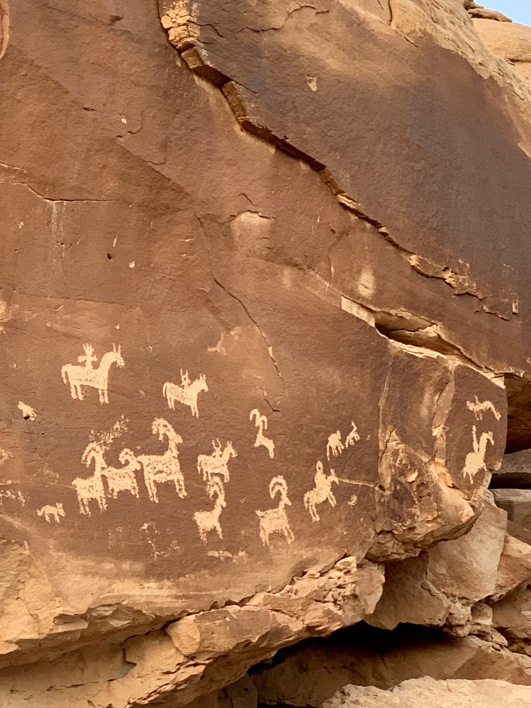
Petroglyphs at Arches National Park, 10-10-2020. Photo by Michael McKinney.

Dead Horse State Park selfie, 10-11-2020. Photo by Michael McKinney.

I stopped on the return drive to stay at an Airbnb, (something else I have never tried), and spent three days and two nights in Carbondale, Colorado, fishing on the Roaring Fork and Frying Pan Rivers. I did not capture that massive late summer brown trout I was hoping, (hyping?) for but I did have an exceptional stay and revisited some favorite fishing spots. I felt fortunate catching a few fish and enjoyed a leisurely drive back to Boulder with some fishing on Crystal Creek.

If you ever visit the Roaring Fork Valley and Carbondale, I suggest visiting The White House Pizzeria. I tried the Pad Thai pizza and it was very good. 

Roaring Fork River Access, 10-12-2020. Photo by Michael McKinney.

Roaring Fork Rainbow Trout, 10-12-2020. Photo by Michael McKinney.

Frying Pan River, 10-13-2020. Photo by Michael McKinney.

Frying Pan River Valley, 10-13-2020. Photo by Michael McKinney.

So where does that leave me - back in Boulder and ready for a 6,000 foot ascent on a borrowed bicycle, back to the Mitchell Lake Trailhead, through Ward, Colorado. A favorite ride for local cyclists through Left-Hand Canyon. I saw a number of cyclists the next day, either grinning enthusiastically on their descent or wordlessly nodding as they ascended.

Thanks Pete! Mitchell Lake Trailhead, 10-14-2020. Photo by anon.

The total ride distance was just over fifty miles, the elevation gain was more than 6,000 feet, the total time was about 3 hours and forty minutes, with a solid hour of descent. 

Huge appreciation post here to my cousin who took me out that night to meet some of his mountain biking friends, and his wife whose hospitality and culinary skills were graciously shared during my visit.

So that’s it I guess, I didn’t have insurance on my rental car, I fell over quite a few times while mountain biking and lost a few good fish.

I did hike into the Indian Peaks Wilderness, set a PR for ascent and descent, caught one nice 20” brown, fished 6 different bodies of water, visited Arches National Park, Canyonlands National Park and got a breather from the daily grind.

Unfortunately multiple wildfires were present during my visit and engulfed the canyon I rode through mere days after I left.

It wasn’t an easy fix but if you can swing it, I’d highly recommend taking that time off.

Minneapolis, 10-15-2020. Photo by Michael McKinney.

Saturday, January 24, 2015

Hogback toast

Minneapolis, 2014. Photo by Michael McKinney

Minneapolis, 2014. Photo by Michael McKinney

Saint Paul, 2014. Photo by Michael McKinney

Minneapolis, 2014. Photo by Michael McKinney

Lake Minnetonka, 2014. Photo by Michael McKinney


The long story is pretty complicated, so I'll shorten it to 2008, when a cousin of mine in Colorado printed out a GPS map of a fifty mile bike ride from Fort Collins to Boulder. I was riding his steel frame road bike, and though I had never ridden the route, it was easily the highlight of 2008 - I didn't get lost, it was a fairly challenging ride, and I handled it. I even enjoyed it. I surprised myself, really.

A hogback in Colorado is what the Boulder locals call a hill, and in Minnesota, it's what a lot of people would look at cross eyed and say "...that's the biggest hill I've ever seen." In a state with 55 mountain peaks over 14,000 feet high, it's pretty easy to see why misinterpretations regarding elevation are bound to happen. Take a minute to google "Number of 14,000 foot peaks in Minnesota" and reward yourself with a broad understanding of regional linguistics.

Anyway, this particular bike ride had a few good hogbacks and fifty miles at elevation, so my cousin planned it for me in advance with a map from MapMyRides and BikeRouteToaster, a fairly simple mapping program. When I got back to the level headed Midwest, I spent some time learning about MapMyRide; going on a bike ride on familiar roads, getting home, walking to a library and charting out my ride, sometimes printing out the BikeRouteToaster results for elevation and sometimes saving the work on MapMyRide.

Footnote, manually mapping a fifty mile bicycle ride on a public library computer and then having the map lost after a system wide reset is a little frustrating, almost as frustrating as the same thing happening at a coffee shop where the wi-fi is free as long as your coffee is pricey enough.

One thing led to another, and in 2013 I bought a wrist top GPS - a Garmin 210 heart rate monitor and GPS computer. No more manual mapping, but lots of statistics and Stravasshole-ism, (I had no idea "King of the Mountain" was anything but a game kids play at snowpiles while waiting for the bus), but there you go. Since then, the mapping and recording of rides has been a lot simpler. Rather than spending up to an hour manually entering turns and miles on MapMyRide, I plug in the Garmin 220, (I upgraded in 2014 after some technical issues), upload the data to Strava, MapMyRide and Garmin Connects and get on my way.

That is as uncomplicated as I can make it.

Thanks for reading, and here is my favorite bike ride from 2014, a double loop through the fairly hilly region of Cherokee Park, Kaposia Park and Mendota Heights, Minnesota.